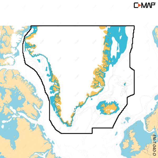
This electronic C-Map Discover X nautical chart for Greenland is for maritime navigation in Greenlandic waters and is only sold with the purchase of a plotter.
The chart provides vector data from official sources with details at all zoom levels. Dynamic presentation offers clear viewing in day and night modes, and high-resolution bathymetry shows seabed topography.
Discover X supports tide and current data, subscription-free Autorouting, and 12 months of free online updates. The chart integrates with the C-MAP-powered Simrad Companion app and is used only for B&G Zeus S and Simrad NSX.
Key features
Electronic nautical chart for Greenland
Vector data from official sources
Dynamic viewing with day and night modes
High-resolution bathymetry as well as tides and currents
Compatible with B&G Zeus S and Simrad NSX