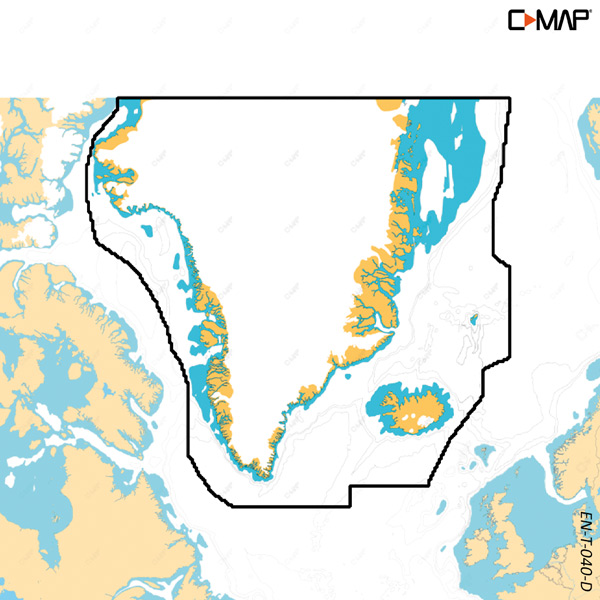
This C-MAP Discover X T-040-D electronic chart covers Greenlandic waters with updated vector chart data and high-resolution depth information for navigation and fishing along the coast of Greenland.
The Discover X series uses dynamic presentation, ensuring the view adapts to the zoom level and chart details remain clear. Day and night modes support readability in varying light conditions.
The chart includes features such as Custom Depth Shading, tides and currents, and subscription-free Autorouting. It comes with 12 months of free online updates and is used exclusively for B&G Zeus S and Simrad NSX.
Key features
Electronic vector chart for Greenlandic waters
High-res bathymetry with detailed depth contours
Dynamic chart presentation at all zoom levels
Day and night modes for varying light conditions
Compatible only with B&G Zeus S and Simrad NSX