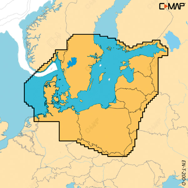
This electronic vector chart covers the Skagerrak and Kattegat and is intended for use with compatible B&G Zeus S and Simrad NSX plotters.
C-Map Discover X is based on vector data from official sources and shows detailed, up-to-date chart information at all zoom levels. The dynamic presentation provides a clear view in both day and night modes, while high-resolution bathymetry provides an overview of water depths.
The chart features Custom Depth Shading, tides and currents, and subscription-free Autorouting. 12 months of free online updates are included, and the chart integrates with the C-MAP-powered Simrad Companion app. Only sold with the purchase of a plotter.
Key features
Covers the Skagerrak and Kattegat
Electronic vector chart in the C-Map Discover X series
Compatible with B&G Zeus S and Simrad NSX
Subscription-free Autorouting as well as tides and currents
12 months of free online updates included