Description
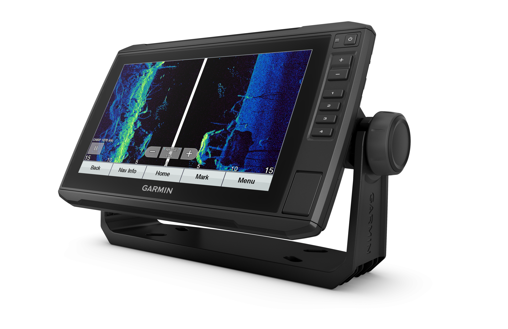
Garmin ECHOMAP™ UHD 92sv with GT56UHD-TM Transducer
JOIN THE CLUB – FIND MORE FISH
9” sunlight-readable touchscreen chartplotter with quick-release mounting bracket. Transducer bundle adds UHD scanning sonar and CHIRP traditional sonar.
See incredible detail, both below and around your boat, with the transducer bundle.
Navigate all waters with optional charts (sold separately)
Share data and maps with select ECHOMAP units on your network.
Manage your marine experience from virtually anywhere 1 .
Take control of the most powerful electric motor available 2 .
Create your own charts on the go and tailor them to your needs
Take fishing to the next level
SUPPORTS SONAR
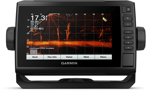
This chartplotter supports a variety of Garmin transducers (sold separately), including the Panoptix LiveScope™ scanning sonar system, which lets you see all around your boat in real time.
VIBRANT COLOR PALETTES
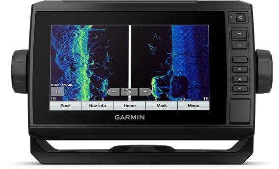
The scanning sonar's vibrant, high-contrast color palettes make it easier than ever to distinguish between targets and structures.
TRANSDUCER BUNDLE
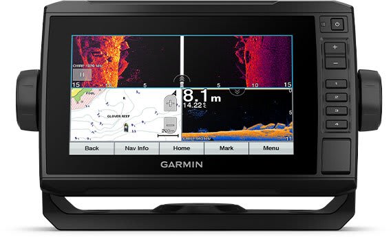
Choose the transducer bundle to add a GT24_UHD transducer for Ultra High-Definition ClearVü scanning sonar and stunningly clear traditional sonar with high/wide CHIRP.
SHORT
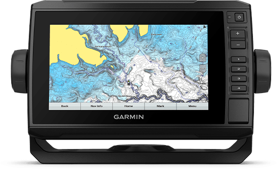
Give your chartplotter a fresh new look and feel with optional Garmin Navionics+™ or premium Garmin Navionics Vision™ cartography with integrated coastal/inland content, access to daily updates, Auto Guidance+™ technology 2 and more.
QUICKDRAW CONTOURS
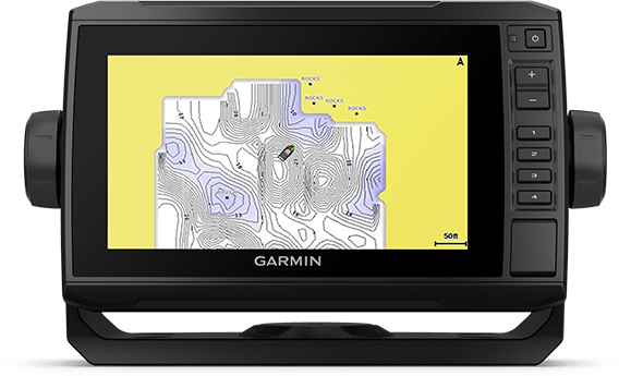
Create personalized on-screen fishing charts with 1-foot depth contours. Keep your data to yourself or share it with the Garmin Quickdraw™ Community on the Garmin Connect™ app .
Boat connected
NETWORK COMPATIBLE
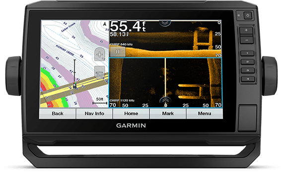
If you have multiple compatible ECHOMAP UHD or ECHOMAP Ultra units on your boat, the 9″ and 7″ models can share information – such as sonar, user data and charts – among them.
NMEA 2000® AND NMEA 0183 NETWORKS
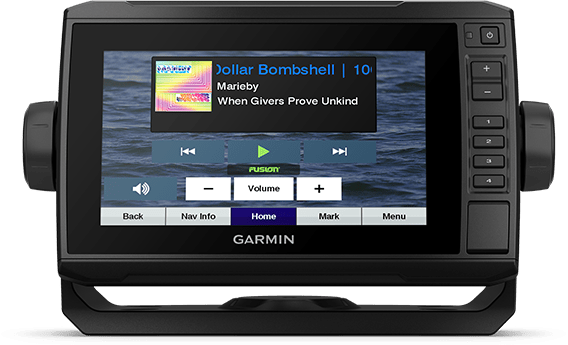
Connect to your compatible autopilots, digital shift, weather, Fusion-Link™ audio system, media, VHF, AIS, engine data, heading sensors – like the SteadyCast™ sensor – and more from one screen.
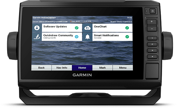
ACTIVECAPTAIN® APP
Built-in Wi-Fi® connectivity pairs with the free all-in-one mobile app to access OneChart™ functionality, smart notifications, software updates, Garmin QuickDraw Community™ data and more 3 .
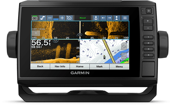
COMPATIBLE WITH FORCE® ELECTRIC MOTOR
Take control of the most powerful and efficient electric motor available 4 . Direct it to waypoints, have it follow a track and more from the screen of your chartplotter.
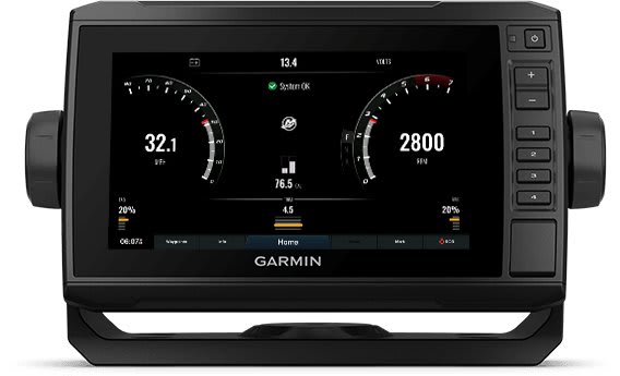
MOTOR CONNECTION
Connect this chartplotter to a variety of engines—including select Mercury and Yamaha® models—to see RPM, fuel consumption, temperature, trim, and other important information at a glance. Additional hardware may be required, so be sure to check with the engine manufacturer.
Appearance and performance
| Display size, WxH | 19.9 x 11.3 cm, 22.9 cm (9.0") diagonal |
| Power supply | 9 to 18 Vdc |
| Display resolution, WxH | 400 x 800 pixels |
| GPS | Yes |
| Physical size (WxHxD) | 26.3 x 16.5 x 6.5 cm |
| Receiver | 5Hz |
| Water classification | IPX7 |
| Weight | 1.0 kg |
| Mounting options | Bracket or flush mounted |
| Display type | WVGA display |
Maps and navigation
| Garmin Navionics Vision+™ | Yes |
| Accepts data cards | 1 microSD™ card, 32 GB maximum size |
| Routes | 100 |
| Garmin Navionics+™ | Yes |
Features
| Waypoints | 5 |
| Sailing features | Yes |
| NMEA 0183 compatible | Yes |
| Has built-in receiver | Yes |
| USB ports | No |
| TOPO 100K | No |
| SideVü | Built-in 260/455/800/1000/1200 kHz |
| Supports DSC (displays position data from DSC VHF radio) | Yes |
| Touchscreen | Yes |
| LakeVu g3 Ultra | Yes |
| Compatible with NMEA 2000® | Yes |
| Compatible with ActiveCaptain | Yes |
| Typical power consumption at 12 V DC | 1.0 A |
| NMEA 2000® ports | 1 |
| Tide tables | Yes |
| GLONASS | No |
| Track points | 50,000 |
| Panoptix™ sonar | Yes |
| Garmin Marine Network™ ports |
1 Panoptix |
| LakeVü g3 | Yes |
| Supports WAAS | Yes |
| Supports GSD ™ black box sonar | No |
| Maximum power consumption at 12 V DC | 1.5A |
| Compatible with Garmin SmartMode (customizable screen presets) | No |
| Auto guidance | No |
| Maximum power consumption at 10 V DC | 18W |
| BlueChart g3 | Yes |
| Standard mapping | Yes |
| LakeVü (country) | No |
| Showing sonar | Yes |
| ANT+™ (connection) | No |
| Supports GCV ™ black box sonar | No |
| BNC port for external antenna | No |
| NMEA 0183 input ports | 1 |
| Spoken audio alarms | No |
| BlueChart g3 Vision | Yes |
| Garmin Wi-Fi® network (local connection) | No |
| Supplementary button operation | Touchscreen with assisted button operation |
| Garmin Quickdraw Contours | Yes |
| Bluetooth® calling | No |
| Supports AIS (tracks target ship position) | Yes |
| Video output ports | No |
| Raster map support | No |
| NMEA 0183 input ports (Tx) | 1 |
| OneHelm™ support | No |
| ClearVü | Built-in 260/455/800/1000/1200 kHz |
| Running tracks | 50 saved tracks |
| Wireless remote control | Yes |
| Supports FUSION-Link ™ compatible radios | Yes |
| Galileo | No |
| LiveScope | Yes |
| Output power | 500W |
| 12-pin transducer ports | 1 |
| BlueChart® (coastal) | No |
| Traditional sonar (dual frequency/beam) | Built-in (1-channel CHIRP, 70/83/200 kHz, L, M, H CHIRP) |
| Compatible with GRID™ (Garmin Remote Input Device) | No |
| Video input ports | No |
In the box:
With transducer
- ECHOMAP UHD 92sv with global background map
- GT56UHD-TM transducer
- Charging/data cable
- Tilt/swivel bracket with quick release holder
- Flush mounting
- Protective cover
- Hardware
- Documentation

