Description
ALL THE TOOLS YOU NEED FOR SUCCESSFUL FISHING
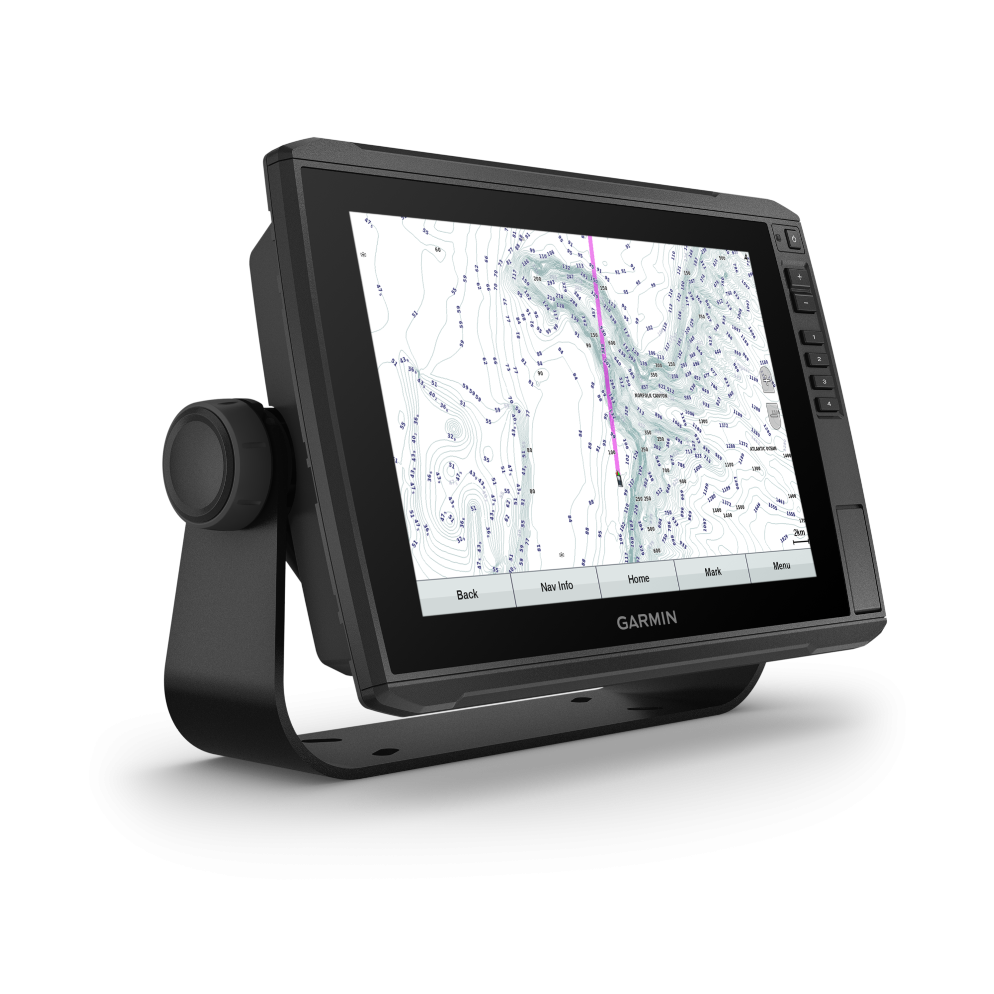
The sunlight-readable 10″ touchscreen chartplotter/sonar combo features our global background maps, and the transducer package adds CHIRP traditional and Ultra High-Definition scanning sonar.
With the button-operated 10″ touchscreen, you have fishfinding knowledge at your fingertips.
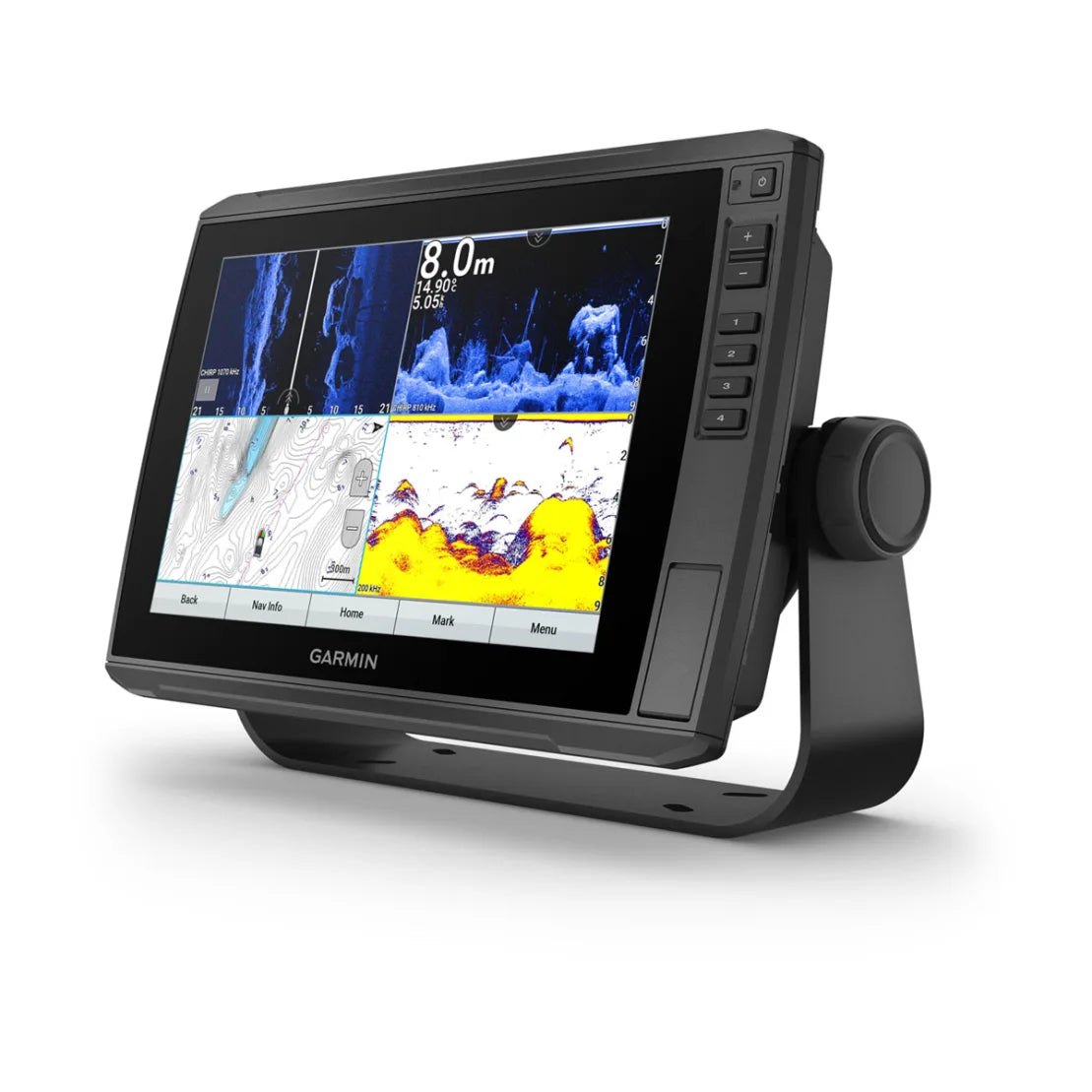
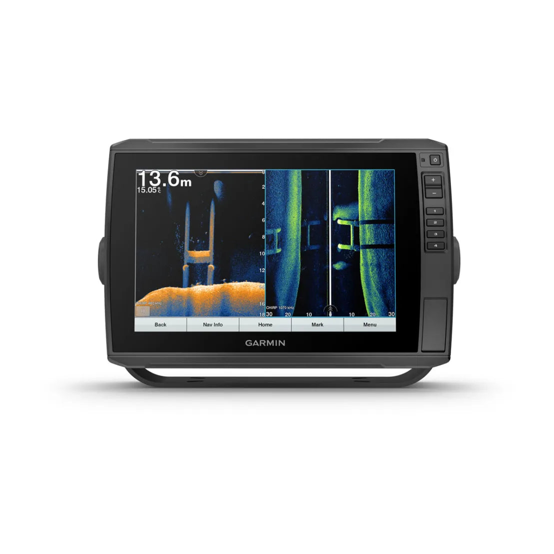
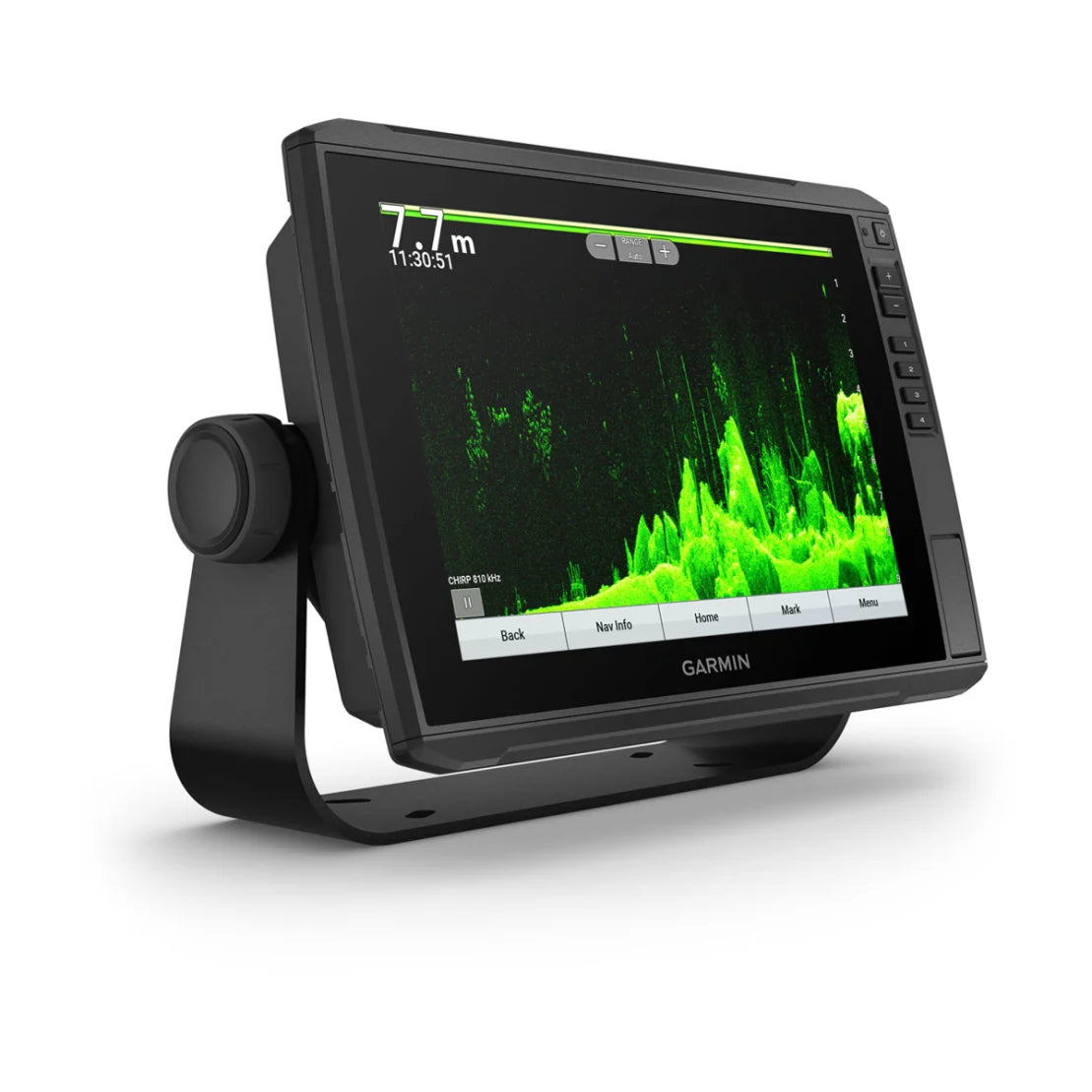
See sharp images of structure and fish in stunning detail with optional transducer.
Navigate safely with optional Garmin Navionics+ charts.
Manage your marine experiences virtually anywhere with the free ActiveCaptain ® app
Connect your boat to share data, sonar and charts with your other devices.
Explore your new favorite place, create maps on the go, and tailor them to your needs.
Better fishing comes built-in.
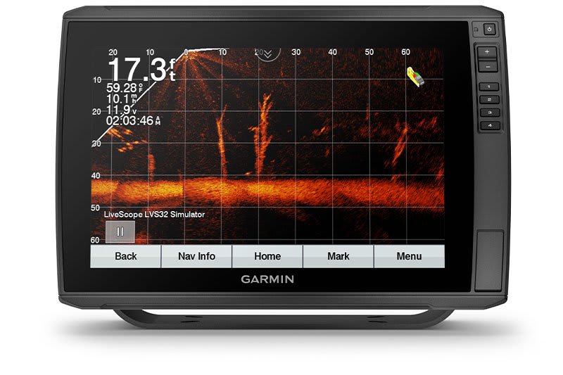
LIVESCOPE ™ SONAR SUPPORT
ECHOMAP Ultra supports a variety of Garmin transducers (sold separately), including a LiveScope sonar that sees everything underwater.
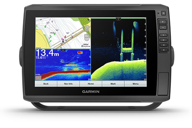
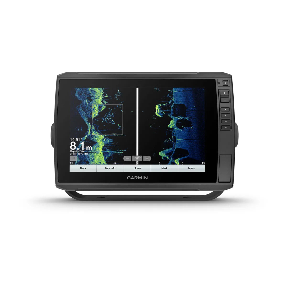
BUILT-IN UHD SONAR
Built-in UHD sonar provides Garmin CHIRP traditional sonar plus Ultra High-Definition ClearVü ™ and SideVü ™ scanning sonars when paired with a compatible UHD transducer. Products bundled with transducer include GT54 or GT56 transducers with three scanning sonar frequencies and 20% greater range for your UHD SideVü sonar.
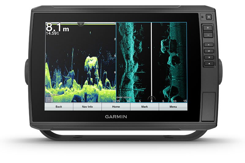
VIBRANT COLOR PALETTES
The scanning sonar's vibrant, high-contrast color palettes make it easier than ever to distinguish between targets and structures.
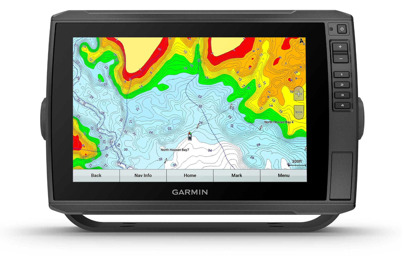
Short
Give your chartplotter a fresh new look and feel with optional Garmin Navionics + ™ or premium Garmin Navionics Vision ™ cartography with integrated coastal/inland content, access daily updates, Auto Guidance+ ™ technology 2 and more.
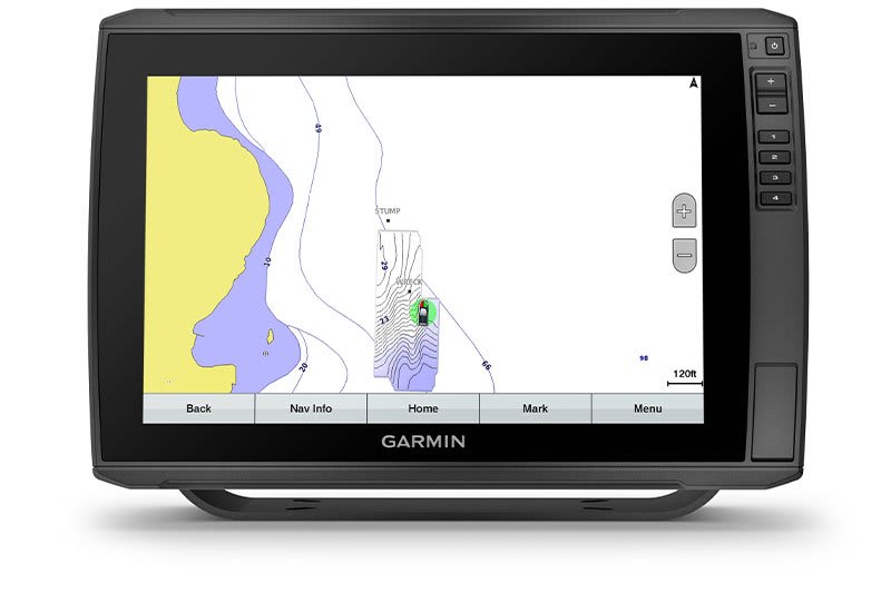
QUICKDRAW CONTOURS
Create personalized on-screen fishing charts with 30 cm (1 ft) depth contours. Keep your data to yourself or share it with Garmin Quickdraw ™ Community on Garmin Connect ™ the app .
Stay connected by water and land.
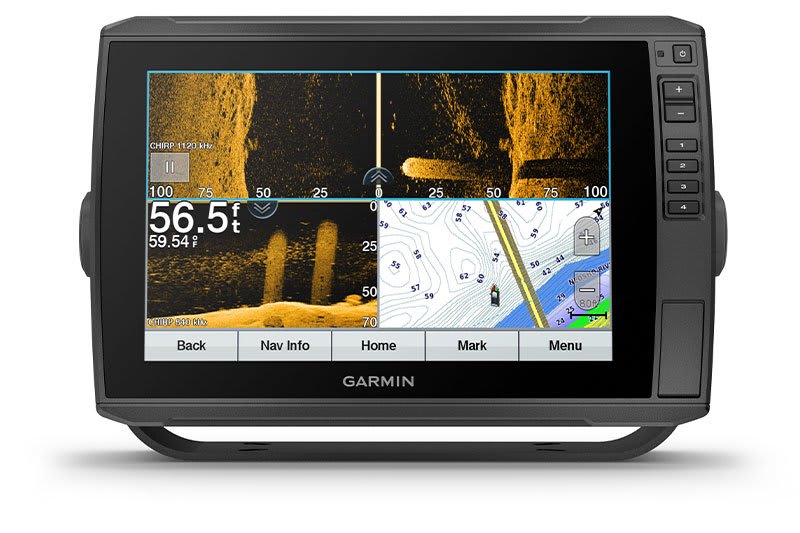
NETWORK COMPATIBLE
If you have multiple compatible ECHOMAP Ultra 10″ and 12″ units or ECHOMAP Plus 7″ and 9″ units on your boat, you can share information—such as sonar, user data, and maps—among them.
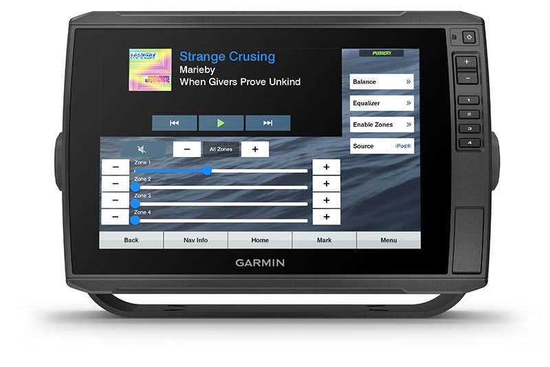
NMEA 2000® NETWORK COMPATIBILITY
Connect to your compatible autopilots, digital shift, weather, Fusion-Link ™ sound system, media, VHF, AIS, engine data, heading sensors – such as SteadyCast ™ the sensor – and much more from one screen.
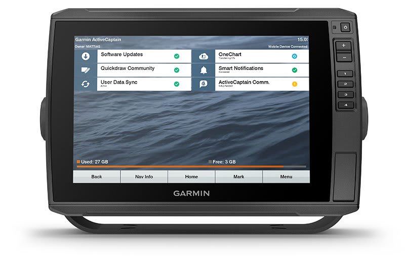
ActiveCaptain app
Built-in Wi- Fi® connection paired with the free all-in-one mobile app to access OneChart ™ feature, smart notifications 2 , software updates, Garmin QuickDraw Community data and more.
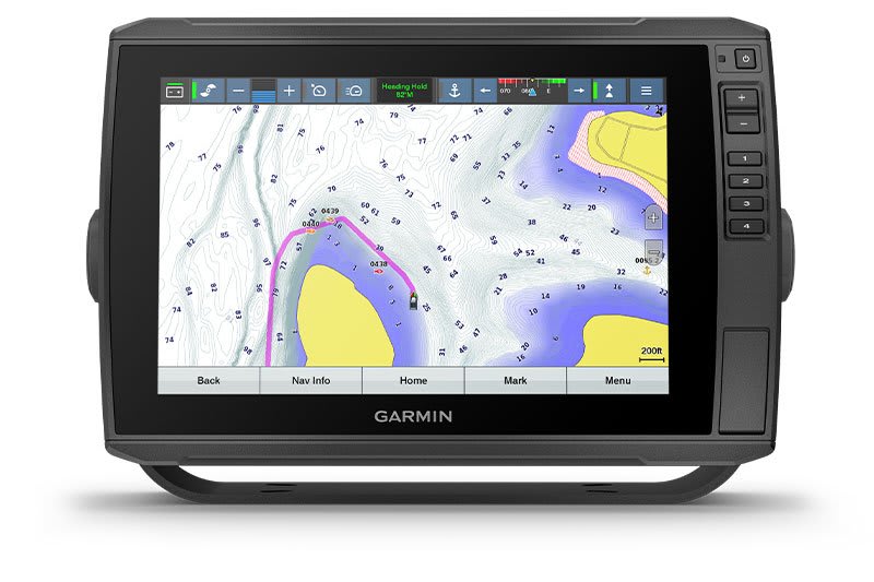
FORCE ™ COMPATIBLE ELECTRIC MOTOR
Take control of the most powerful and efficient electric motor, available 3 , direct it to waypoints, follow tracks and more from the bright IPS screen of your chartplotter.
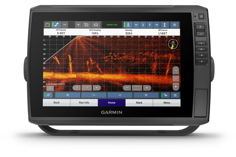
POWER-POLE ® LOW WATER ANCHOR
By networking select Garmin chartplotters with a Force ® electric motor and your compatible Power-Pole shallow water anchor system, you can access advanced boat control features 4 from your chartplotter, including automatic anchoring, smart anchor push, auto stow, anchor drag detection and anchoring at the end of Auto Guidance 1 route. Spend more time fishing and less time positioning.
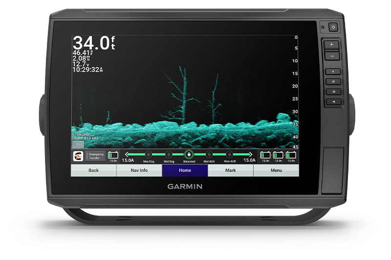
CHARGE INTEGRATION FROM POWER POLE
Your CHARGE Marine Power Manager from Power-Pole integrates with compatible Garmin chartplotters to help your battery last longer on the water. You can charge batteries on the go, monitor power usage, choose where to allocate power, control emergency starting, and even transfer power between battery banks - all from your chartplotter screen.
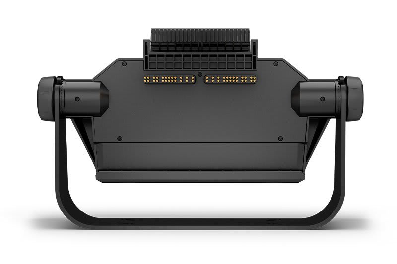
TAKE IT WITH YOU
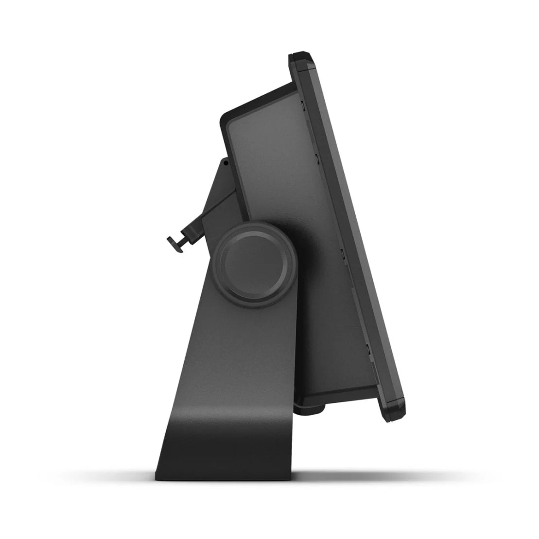
Keep your ECHOMAP Ultra well-protected. Cables connect directly to the quick-disconnect mounting bracket so you can quickly install and remove your device.
| Generally | |
|---|---|
| Physical size (WxHxD) | 11.6 x 7.7 x 3.9 (29.5 x 19.5 x 9.8 cm) |
| Weight | 4.0 lbs (1.8 kg) |
| Water resistance class | IPX7 |
| Touchscreen | Yes |
| Display type | WXGA display |
| Display size, WxH | 8.5 x 5.4; 10 diagonal (21.7 x 13.6 cm; 25.4 cm diagonal) |
| Display resolution, WxH | 1280 x 800 pixels |
| Mounting options | Bracket or flush mounted |
| Supplementary button operation | Touchscreen with assisted button operation |
| Cards and memory | |
|---|---|
| Accepts data cards | 2 microSD™ cards |
| Waypoints | 5 |
| Track points | 50,000 |
| Running tracks | 50 saved tracks |
| Routes | 100 |
| Sensors | |
|---|---|
| GPS | Yes |
| GLONASS | No |
| Galileo | No |
| Has built-in receiver | Yes |
| Receiver | 10Hz |
| Compatible with NMEA 2000® | Yes |
| NMEA 0183 compatible | Yes |
| Supports WAAS | Yes |
| Built-in maps | |
|---|---|
| Auto guidance | No |
| Garmin Navionics+ Inland & Coastal | No |
| BlueChart® (coastal) | No |
| LakeVü (country) | No |
| Tide tables | Yes |
| Optional card support | |
|---|---|
| BlueChart g3 | No |
| BlueChart g3 Vision | No |
| LakeVü g3 | No |
| LakeVu g3 Ultra | No |
| Garmin Navionics+™ | Yes |
| Garmin Navionics Vision+™ | Yes |
| TOPO 100K | Yes |
| Standard mapping | Yes |
| Garmin Quickdraw Contours | Yes |
| Raster map support | No |
| Plotter functions | |
|---|---|
| Compatible with Garmin SmartMode (customizable screen presets) | No |
| Supports AIS (tracks target ship position) | Yes |
| Supports DSC (displays position data from DSC VHF radio) | Yes |
| Supports FUSION-Link ™ compatible radios | Yes |
| Supports GSD ™ black box sonar | No |
| Supports GCV ™ black box sonar | No |
| Compatible with ActiveCaptain | Yes |
| Compatible with GRID™ (Garmin Remote Input Device) | No |
| Wireless remote control | No |
| Sailing features | Yes |
| Spoken audio alarms | No |
| OneHelm™ support | No |
| Electric | |
|---|---|
| Power supply | 10 to 18 Vdc |
| Typical power consumption at 12 V DC | 2.8 A |
| Maximum power consumption at 12 V DC | 3.0 A |
| Maximum power consumption at 10 V DC | 24.4W |
| Sonar Features and Specifications | |
|---|---|
| Showing sonar | Yes |
| Output power | 600W |
| Traditional sonar (dual frequency/beam) | Built-in (1-channel CHIRP, 70/83/200 kHz, L, M, H CHIRP) |
| ClearVü | Built-in 260/455/800/1000/1200 kHz |
| SideVü | Built-in 260/455/800/1000/1200 kHz |
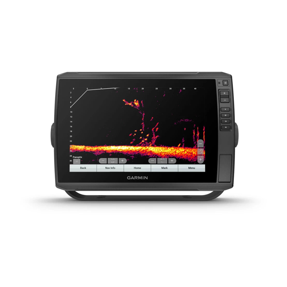
| Panoptix™ sonar | Yes |
| LiveScope | Yes |
| Connections | |
|---|---|
| NMEA 2000® ports | 1 |
| NMEA 0183 input ports | 1 |
| NMEA 0183 output ports (Tx) | 1 |
| Garmin Marine Network™ ports | 2 (large plugs) |
| 12-pin transducer ports | 1 LVS sonar; 1 scanning sonar |
| USB ports | No |
| BNC port for external antenna | No |
| Bluetooth® call | No |
| ANT+™ (connection) | No |
| Garmin Wi-Fi® network (local connection) | No |
In the box:
- ECHOMAP Ultra 102sv with global background map
- GT54UHD-TM or GT56UHD-TM transducer
- Power/data cable
- Tilt bracket with quick release holder
- Flush mounting
- Protective cover
- Hardware
- Documentation

