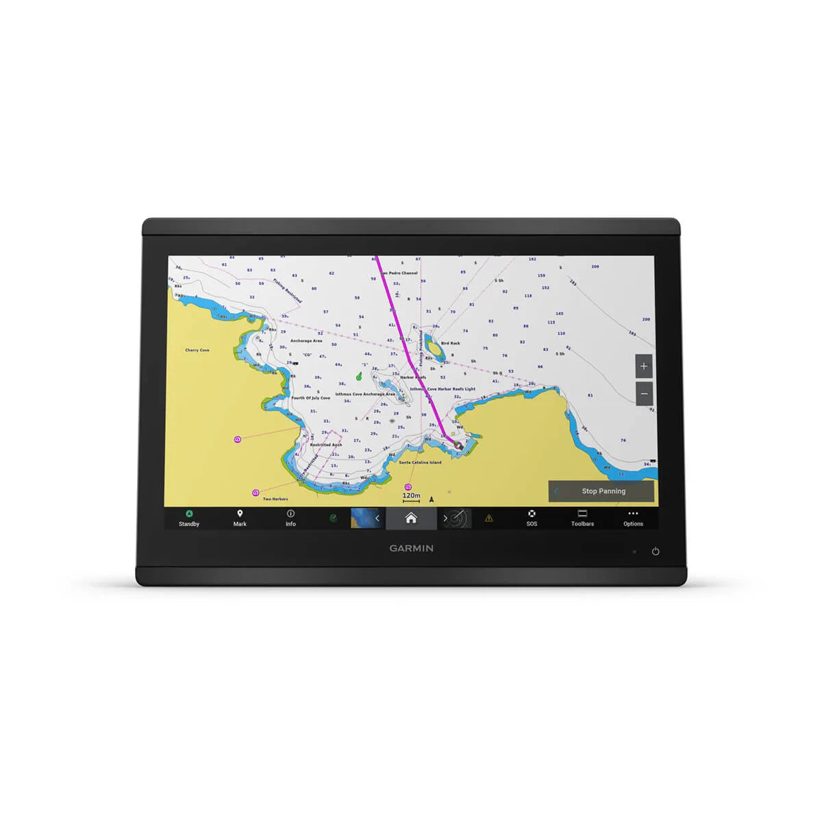
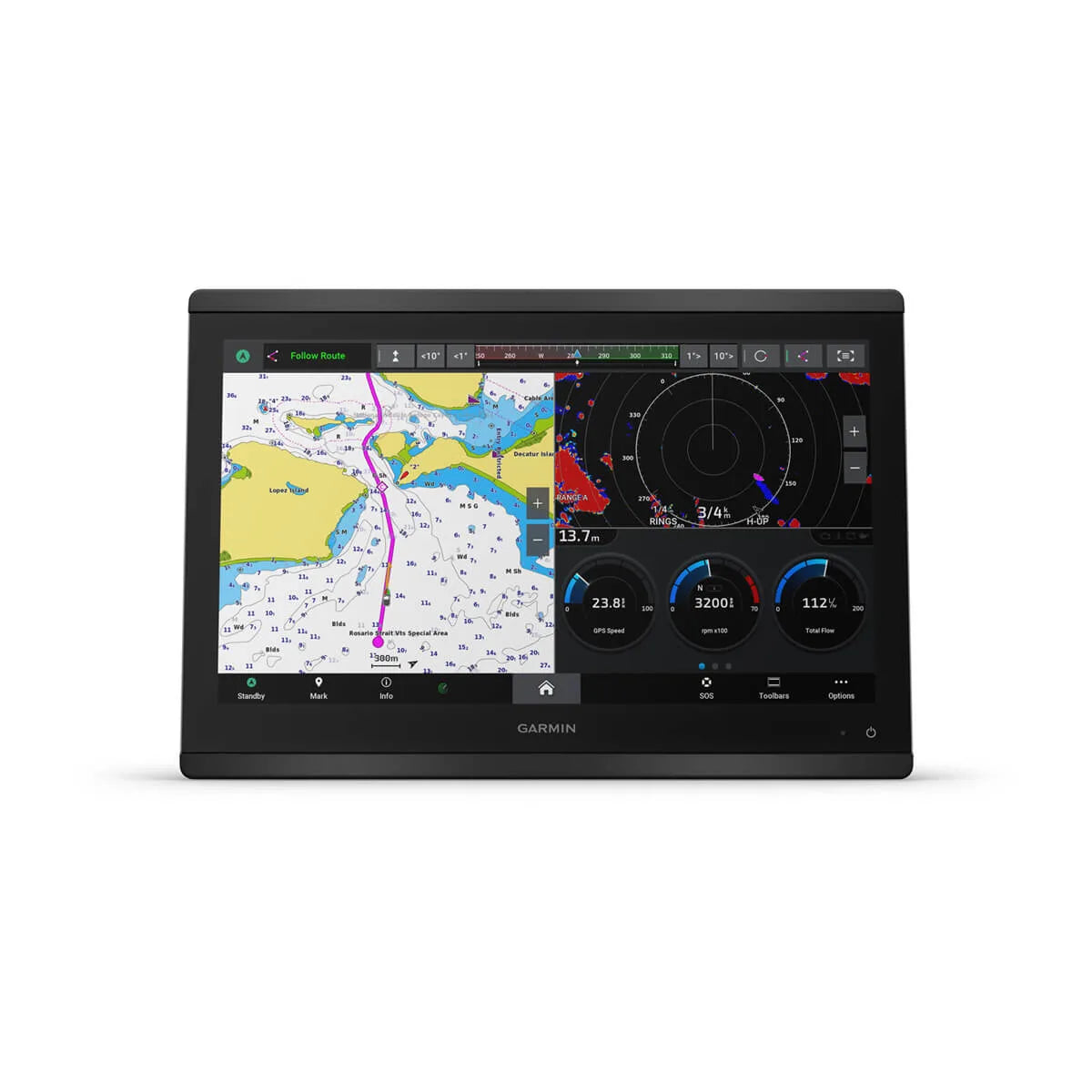
Garmin GPSMAP® 8416 chartplotter

Save 12%
Mærke: Garmin SKU: 010-02093-00

Price:
Sale price42.900,00 kr Regular price48.849,00 kr

Description

The Garmin GPSMAP 8416 is the flagship model in the 84 series – a large 16" Full HD IPS touch chartplotter for boat owners, sailors, and anglers who want maximum screen space, high resolution, and full system integration at the helm. The large 15.6" IPS display (1920 × 1080 px) provides sharp graphics, wide viewing angles, and perfect readability in sunlight – even with polarized sunglasses.

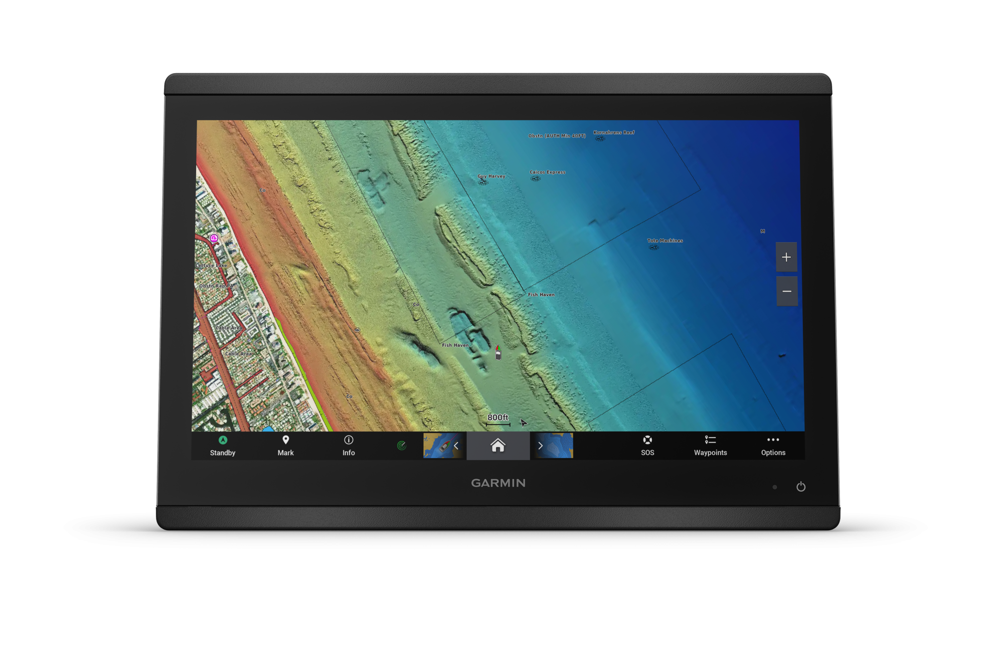
The GPSMAP 8416 comes with a worldwide basemap and supports both Garmin Navionics+™ and Garmin Navionics Vision+™, BlueChart g3, and LakeVü g3, allowing you to customize your mapping solution for coastal cruising, lakes, depth charts, and Auto Guidance+™ (via compatible cards). The built-in GNSS receiver updates position and heading at 10 Hz, providing fluid and precise display of the boat's movement.

As the central unit in your marine system, the GPSMAP 8416 can be connected via Garmin Marine Network, NMEA 2000®, NMEA 0183, and J1939. This allows you to integrate radar, autopilot, AIS, VHF, Fusion-Link™ audio system, engines, digital switching (OneHelm™), IP cameras, and much more, consolidating control and oversight onto one large screen.

The 8416 model itself does not have built-in traditional sonar, ClearVü, or SideVü, but supports sonar via an external GSD™/GCV™ black box and can simultaneously connect to Panoptix™ and LiveScope™ real-time sonar (transducers and black box sold separately). This makes it an ideal primary navigation display in larger installations where sonar and radar are handled by separate modules on the network.

With Wi-Fi®, Bluetooth®, and ANT®, you can connect to the ActiveCaptain® app, wireless sensors, quatix® marine watches, gWind™ Wireless 2 transducers, GNX™ instruments, and wireless remote controls. SmartMode™ station layouts allow you to switch your entire screen setup (e.g., docking, navigation, fishing, racing) with one touch – ideal for single-handed sailing or high-pressure situations like harbor maneuvers.

The result is a large, professional 16" chartplotter for boat owners who want maximum screen area, flexible mounting, robust network integration, and full control over their entire boat system from one elegant helm solution.

Did you know

... that you can see our large Garmin exhibition and try out Garmin products on our "Showboat" in our large boat equipment store, located at Bådebyggervej 1 in Næstved. Furthermore, many of our items can be ordered online and picked up in our self-service stores locally in Danish harbors.

See more here: Self-service stores

Installation

Have your Garmin equipment installed by our skilled specialists - call us at 71 99 77 79 so we can find a solution together.

Alpina Marineudstyr

Ask us about the product

Send us your question. The product will automatically be included in your message.

Garmin GPSMAP® 8416 chartplotter
Garmin GPSMAP® 8416 chartplotter Item no. 010-02093-00

Description

Specifikationer:
Model: Garmin GPSMAP® 8416 – med globalt baggrundskort
Skærmtype: IPS touchscreen med antirefleks-finish
Skærmstørrelse: 15,6" diagonal (397 mm), visningsområde 345 × 195 mm
Opløsning: 1920 × 1080 px (FHD)
Fysiske mål (B × H × D): 385 × 263 × 76 mm
Vægt: 4,4 kg
Vandtæthed: IPX7
Montering: Bøjle-, flad- eller planmontering (hardware til fladmontering ikke inkluderet)
Touchscreen: Ja, uden ekstra knapper
Polariseret visning: Ja

Kort og hukommelse:
Baggrundskort: Globalt baggrundskort
Datakort: 2 × SD-kort (bagsiden af enheden)
Waypoints: 5.000
Sporpunkter: 50.000
Gemte spor: 50
Ruter: 100 (op til 250 waypoints pr. rute)

GNSS og sensorer:
GPS: Ja
GLONASS: Ja
Galileo: Ja
Indbygget modtager: Ja
Opdateringshastighed: 10 Hz GPS/GLONASS/Galileo
WAAS-understøttelse: Ja

Indbyggede kortfunktioner:
Auto guidning: Nej
BlueChart (kyst) forudindlæst: Nej
LakeVü (land) forudindlæst: Nej
Tidevandstabeller: Ja

Kortkompatibilitet (tilvalg):
BlueChart g3 / BlueChart g3 Vision: Ja
LakeVü g3 / LakeVü g3 Ultra: Ja
Garmin Navionics+™: Ja
Garmin Navionics Vision+™: Ja
TOPO 100K: Ja
Standard kortlægning: Ja
Garmin Quickdraw Contours: Ja
Rasterkort-understøttelse: Ja

Netværk og integration:
Garmin Marine Network porte: 2
NMEA 2000: Ja (1 port)
NMEA 0183: Ja (1 differential ind / 1 udgang)
J1939 motor-netværk: Ja
Garmin SmartMode: Ja (konfigurerbare skærmforudindstillinger)
AIS-understøttelse: Ja (visning af mål via tilsluttet AIS)
DSC-understøttelse: Ja (visning af position fra DSC VHF-radio)
Fusion-Link™ lydstyring: Ja
Understøtter GSD™ black box-ekkolod: Ja
Understøtter GCV™ black box-ekkolod: Ja
OneHelm™ digital switching: Ja

Trådløs og apps:
Wi-Fi®: Ja (lokalt netværk, ActiveCaptain® app)
Bluetooth®: Ja
ANT®: Ja
ActiveCaptain® app-kompatibilitet: Ja

Video og tilslutninger:
Videoindgange: 1 × BNC komposit, 1 × HDMI (HDCP-kompatibel)
Video udgang: 1 × HDMI
USB: Ja
BNC port til ekstern antenne: Nej

Ekkolod og sonar (via tilbehør):
Viser ekkolod: Ja
Traditionelt ekkolod (dobbeltfrekvens/stråle): Ja, via ekstern black box (GSD™, sælges separat)
ClearVü: Ja, via kompatibel black box-ekkolod (GCV™, sælges separat)
SideVü: Ja, via kompatibel black box-ekkolod (GCV™, sælges separat)
Panoptix™: Ja (transducer og moduler sælges separat)
LiveScope™: Ja (transducer og moduler sælges separat)

Elektrisk:
Spændingsområde: 10–32 V DC
Typisk forbrug ved 12 V: 1,3 A
Maksimalt forbrug ved 12 V: 6,0 A
Maksimal effekt ved 10 V: 52,1 W

Øvrigt:
Sejlfunktioner (SailAssist™): Ja (laylines, startlinjehjælp, vinddata m.m.)
Talte lydalarmer: Ja
Understøtter talte lydalarmer: Ja

Similar products

Last viewed products