Description
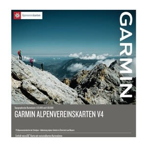
Get ready to climb the Eastern Alps with these high-quality raster maps featuring approximately 80,000 searchable, specialized points of interest (POIs), including mountain huts, villages, stations, and mountain peaks.
Displays high-quality raster maps at scales 1:25,000 and 1:50,000 created by the German and Austrian Alpine Clubs. Extended coverage of BEV raster maps at scale 1:50,000
Covers alpine areas in the Eastern Alps of Austria and Germany and selected areas in Italy, as well as 75 alpine club raster maps optimized for compatible equipment.
Includes an overview of local alpine clubs' mountain huts with pictures, phone numbers and altitude information.
Offers more than 2,600 backcountry ski tours in Germany and Austria with a list of start and end points sorted by area.
Additional marking of the most important alpine points of interest for perfect map overview. The markings can be turned on and off using user device preferences (compatible devices only)

