Description
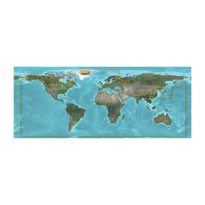
Global coverage
Based on official charts and private sources for navigational aids, spot depths, depth contours, tide and current conditions, and detailed ports and marinas
Shallow Water Shading feature provides user-level depth display to aid navigation
Advanced map details
Advanced map details
Detailed nautical charts help the boater steer the boat in and out of the harbor with peace of mind.

