
Description
YOUR PLOTTER HAS GOT A WHOLE NEW LOOK
Featuring vibrant colors, a streamlined interface and combined coastal/inland content with a popular Navionics® color palette, Garmin Navionics+ cartography makes it easy to plot your course with the world's leading name in nautical charts1.
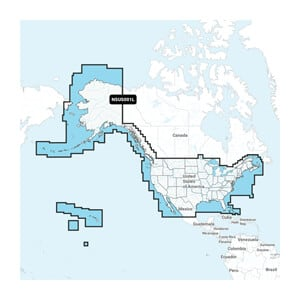
Navigate with our best coastal and marine coverage for your Garmin chartplotter.
See it your way. Customize the view with different chart layers and overlay combinations.
With your included 1-year subscription, you can access daily updates via the ActiveCaptain® app for smart devices.
Auto Guidance+™ technology2 lets you navigate with suggested routes from dock to dock.
Select up to 10 color-coded target depth ranges to find the best fishing spots.
Save money by renewing your subscription – and continue to get access to daily updates and new content downloads.
Plot your paradise on coastal or inland areas.
ALL-IN-ONE MAP SOLUTION FOR GARMIN PLOTTERS
Access detailed maps of coastal areas, lakes, rivers and more. Integrated Garmin and Navionics content provides coverage for sailors worldwide.
DAILY MAP UPDATES
Charts are constantly being improved with new and changing content – as many as 5,000 updates are made every day. The included one-year subscription gives you access to daily chart updates via the ActiveCaptain app for smart devices.
AUTO GUIDANCE+ TECHNOLOGY
Combining the best of Garmin and Navionics automatic route guidance features, built-in Auto Guidance+ technology2 gives you a suggested dock-to-dock route to follow canals, coves, harbor inlets and more.
SHADING OF DEPTH AREAS
High-resolution shading in depth areas allows you to choose up to 10 colors and get a quick overview of your designated target depths.
UP TO 0.5 M DEPTH CURVES
For improved fishing and navigation, depth curves up to 0.5m provide a clear representation of bottom structure for improved fishing charts and enhanced detail in swamps, canals, harbors, marinas and more.
SHADING OF LOW WATER
Get clear marking of shallow water to avoid, with shading of all areas below a user-defined depth.
RASTER CARTOGRAPHY
NOAA raster cartography3 is available as a free downloadable feature through the ActiveCaptain app to provide paper-like charts on your chartplotter.
ACTIVECAPTAIN COMMUNITY
Community content provides useful points of interest, such as marinas, anchorages, hazards, businesses, and more. Get recommendations from sailors with first-hand experience in the local environment.
Add premium features with a Garmin Navionics Vision+™ upgrade
READ MORE
Renew for up to 50% less than the cost of purchasing a new chart.
READ MORE
1 Based on reported sales from 2021
2 Auto Guidance+ is for planning purposes only and is not a substitute for safe navigation
3 Raster cartography cannot be displayed on echoMAP™ CHIRP and ECHOMAP™ Plus combinations, but can be viewed on phones via the ActiveCaptain mobile app.
Categories
Ofte købt sammen med